Landscape 3D Scanning | 3D Point Cloud | Gigapixel Orto Photo | Geodetic Maps | GIGAPIXEL technologies |
3D landscape scanning sits at the intersection of several emerging technologies.
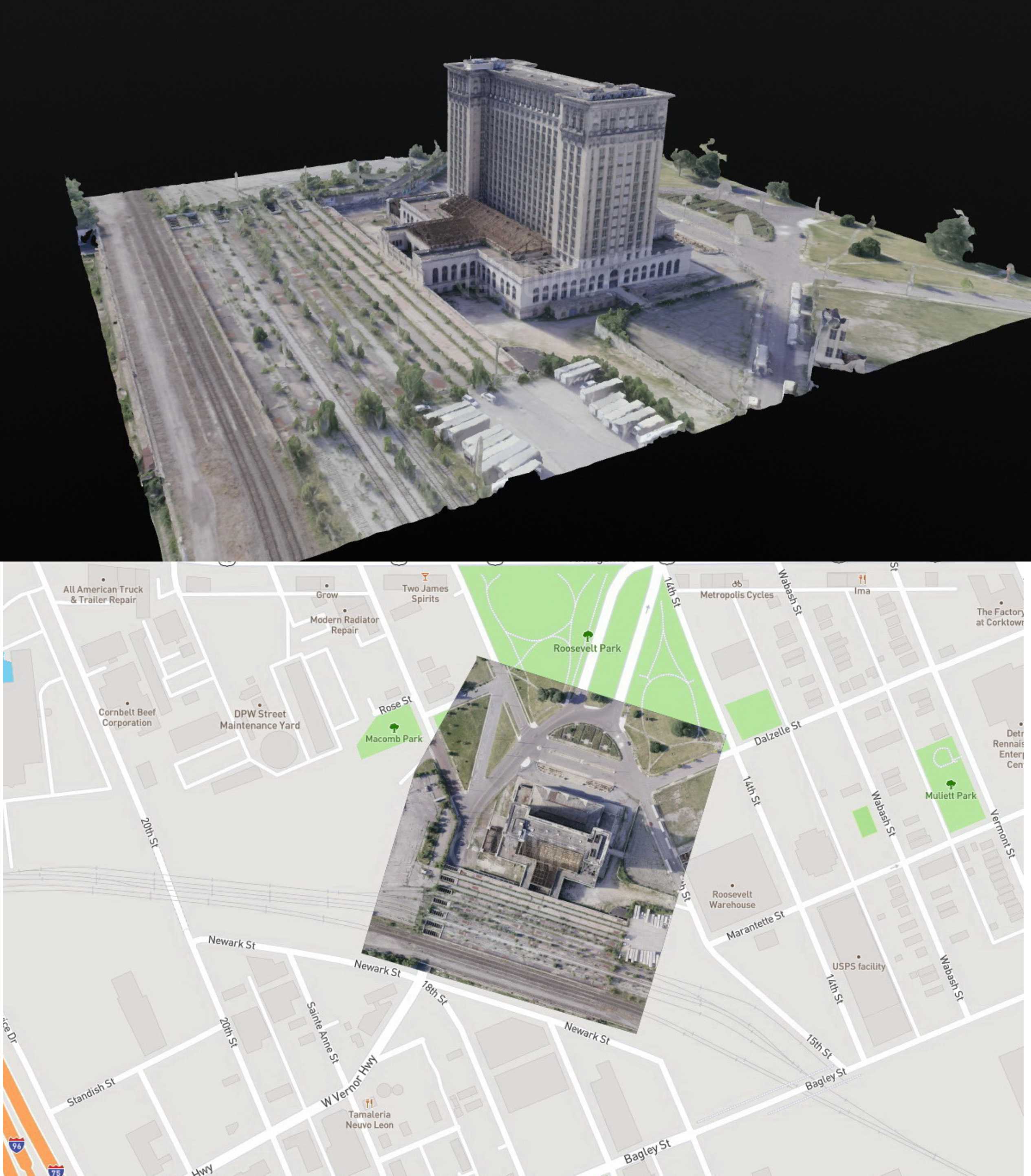
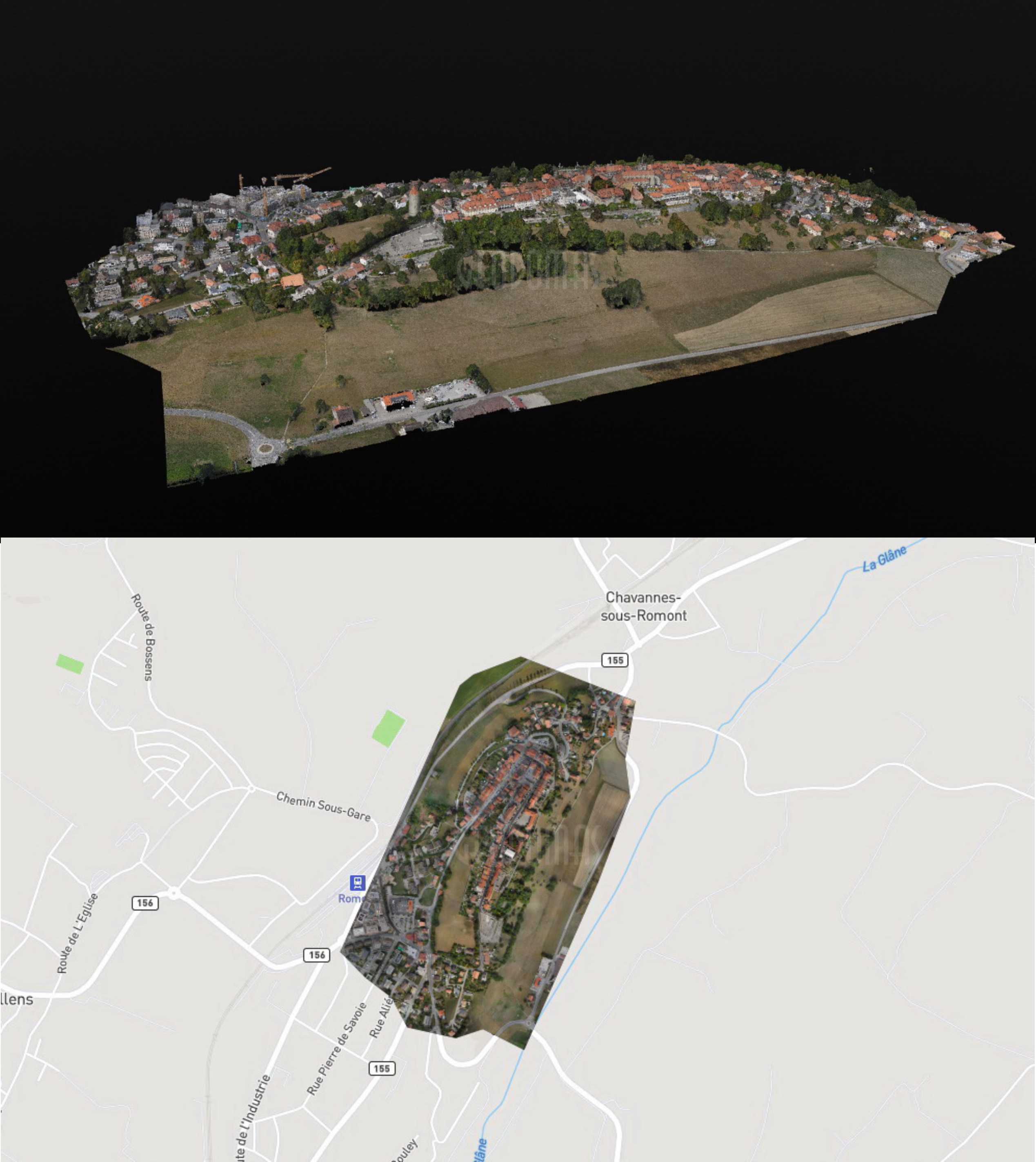
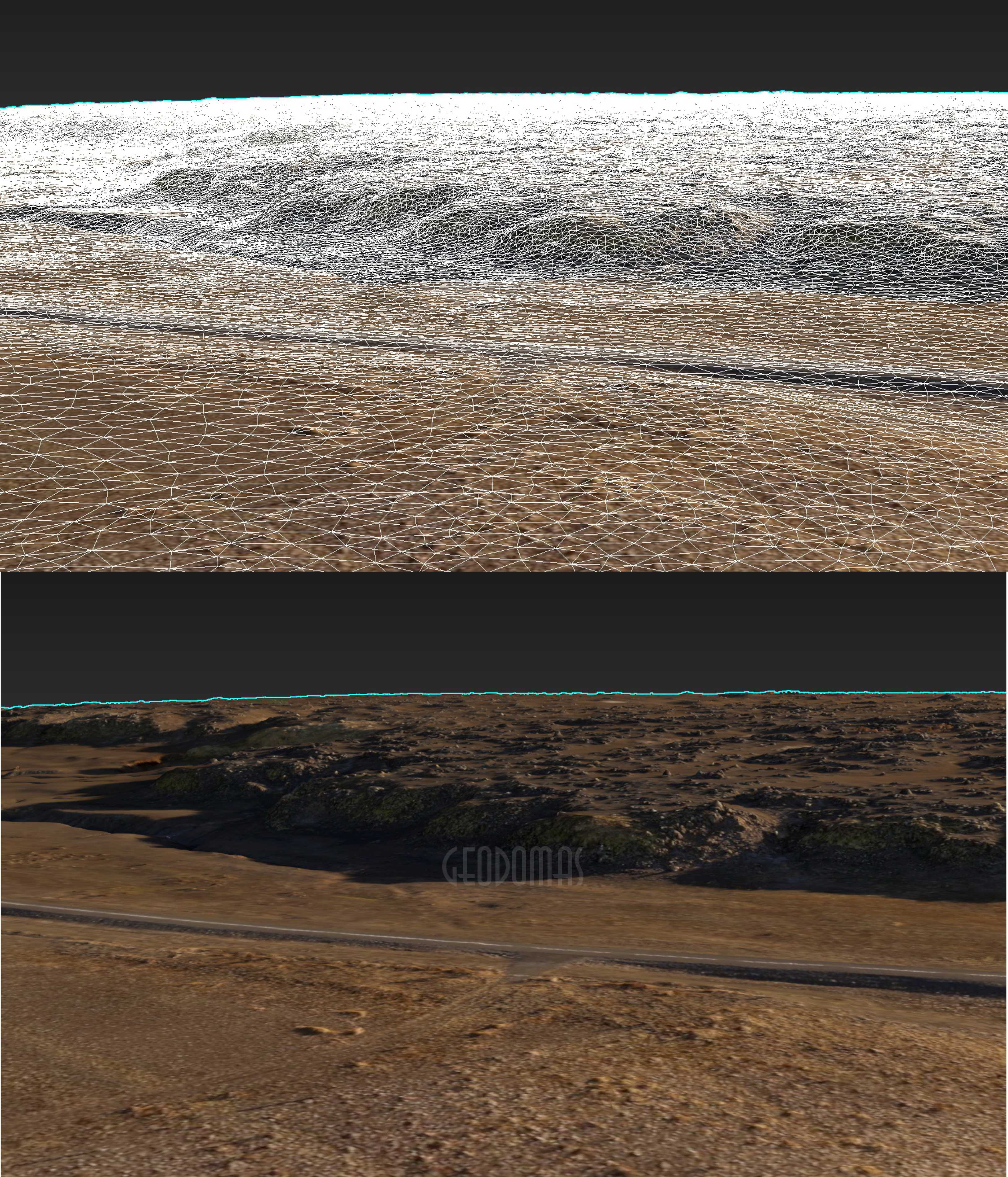
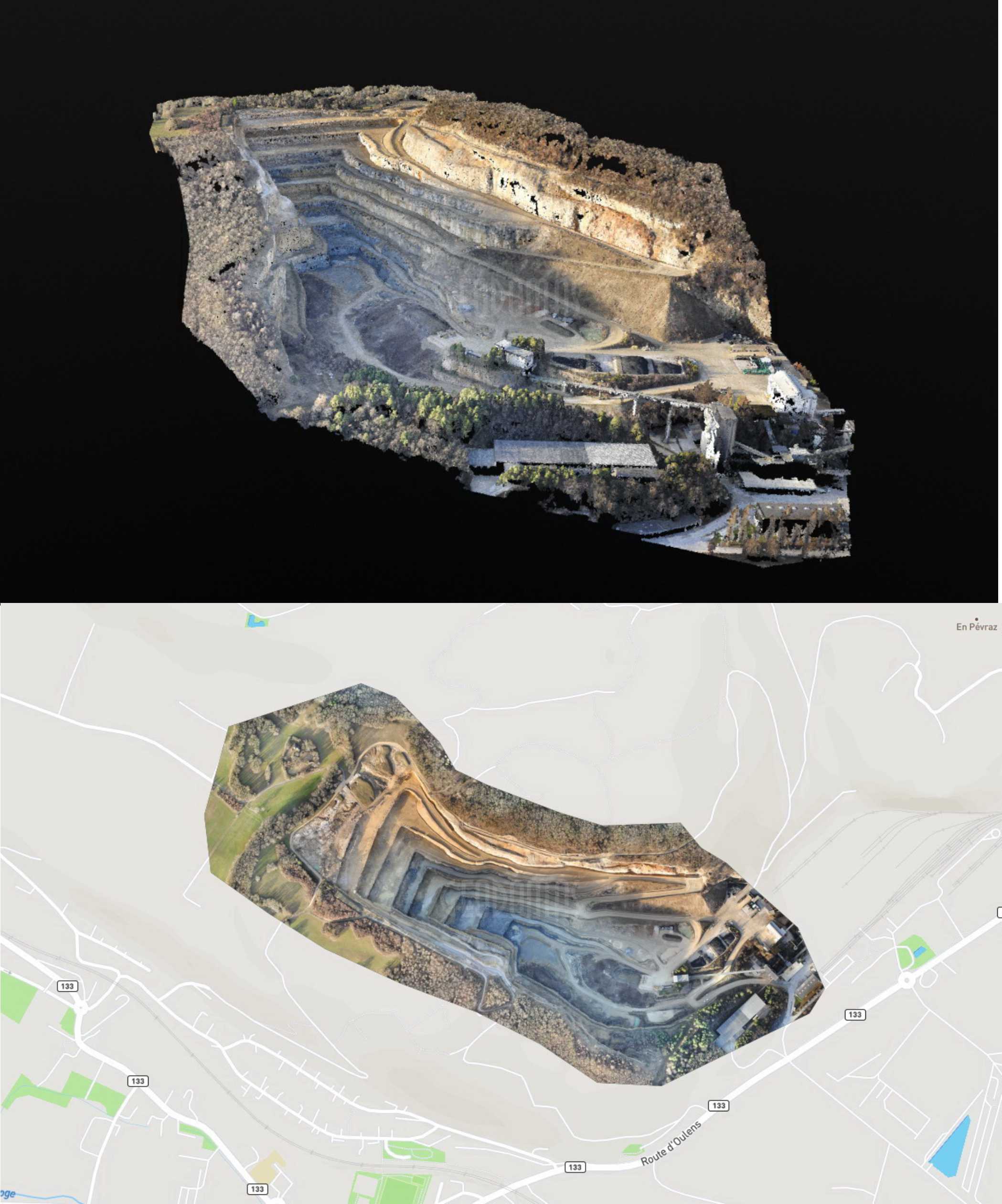
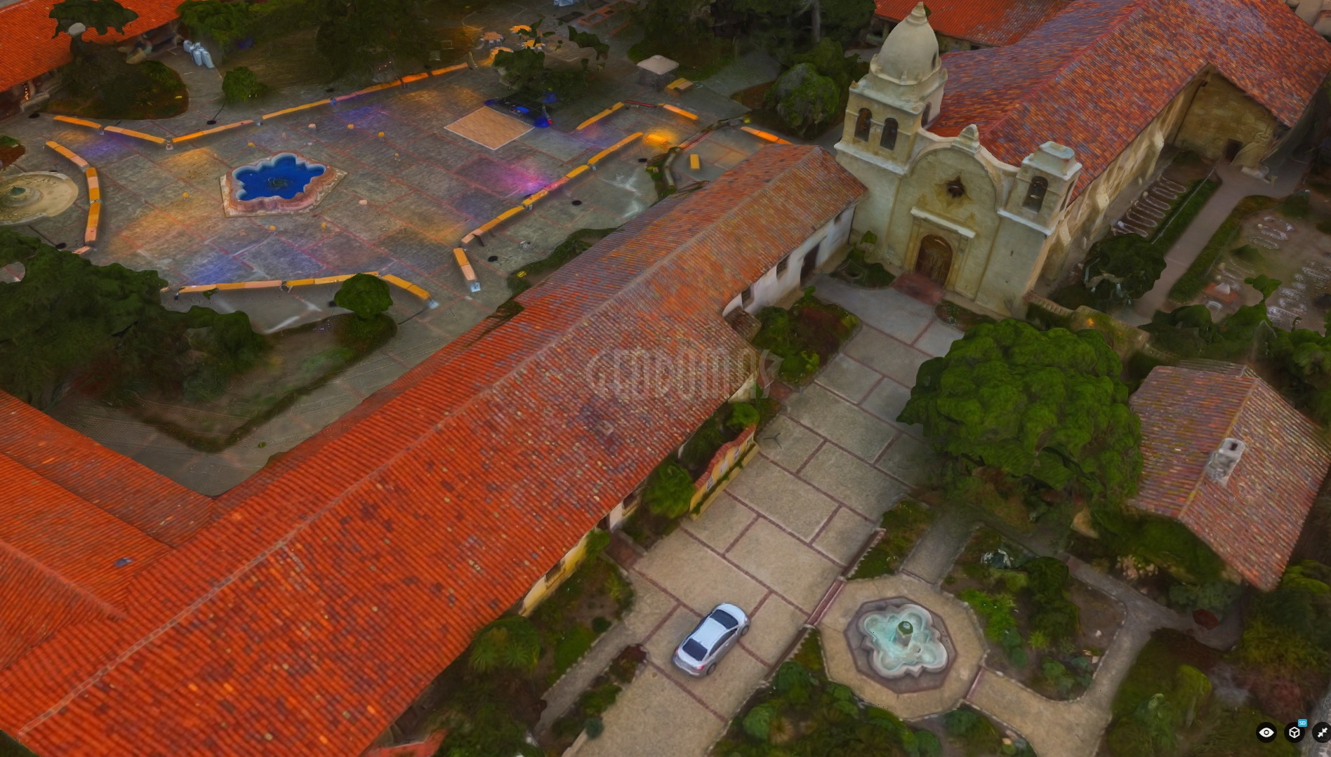
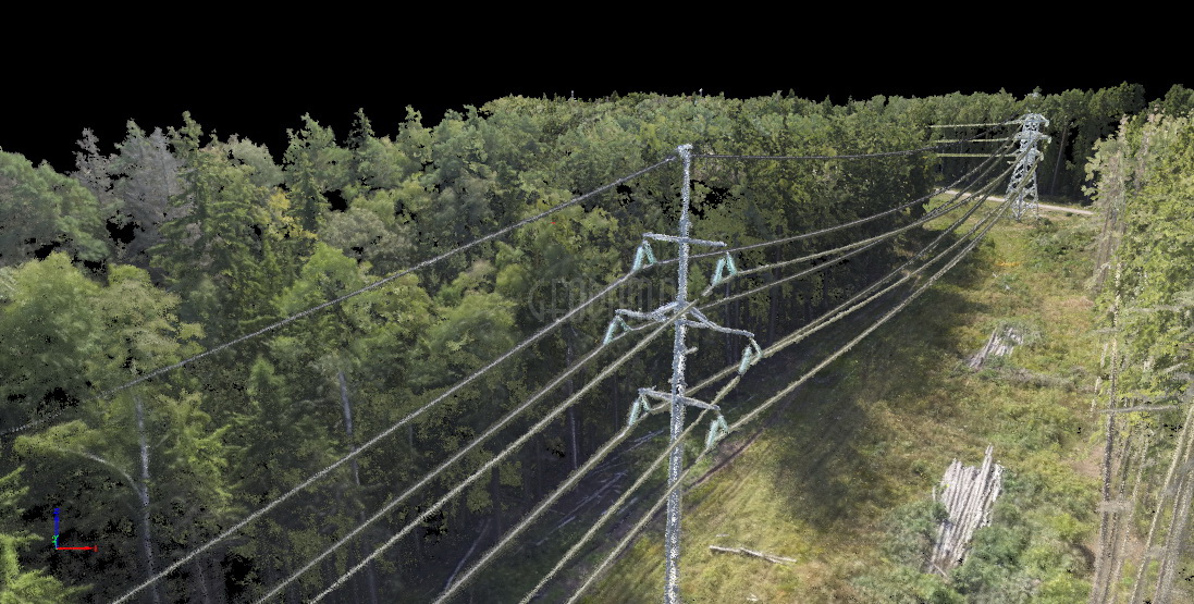
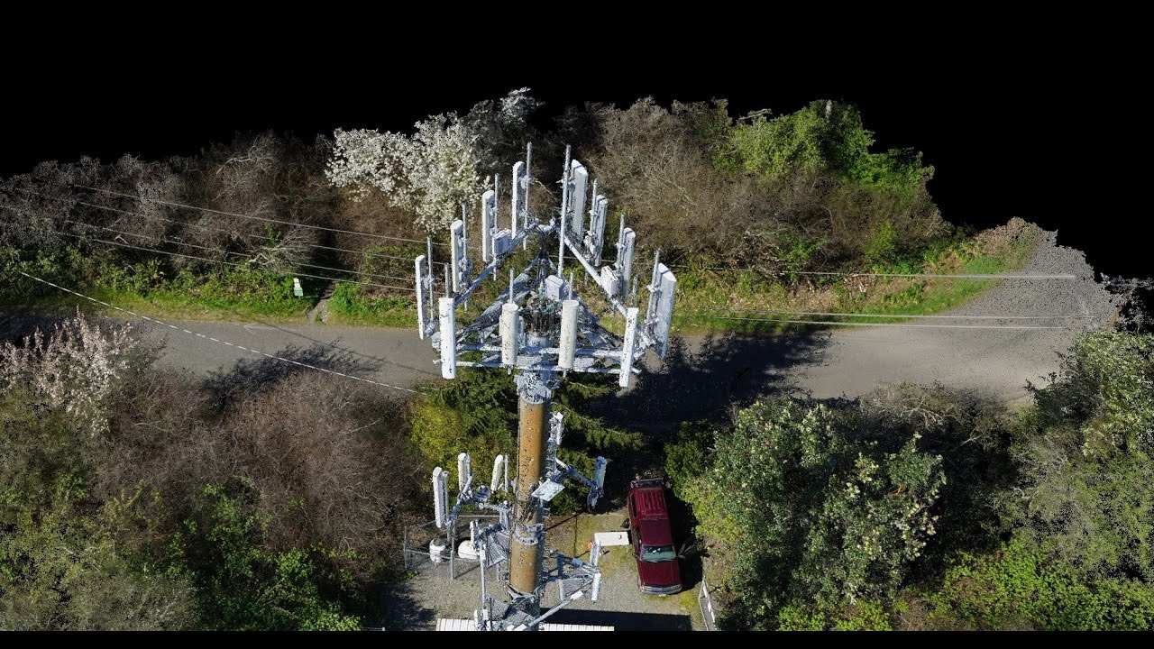
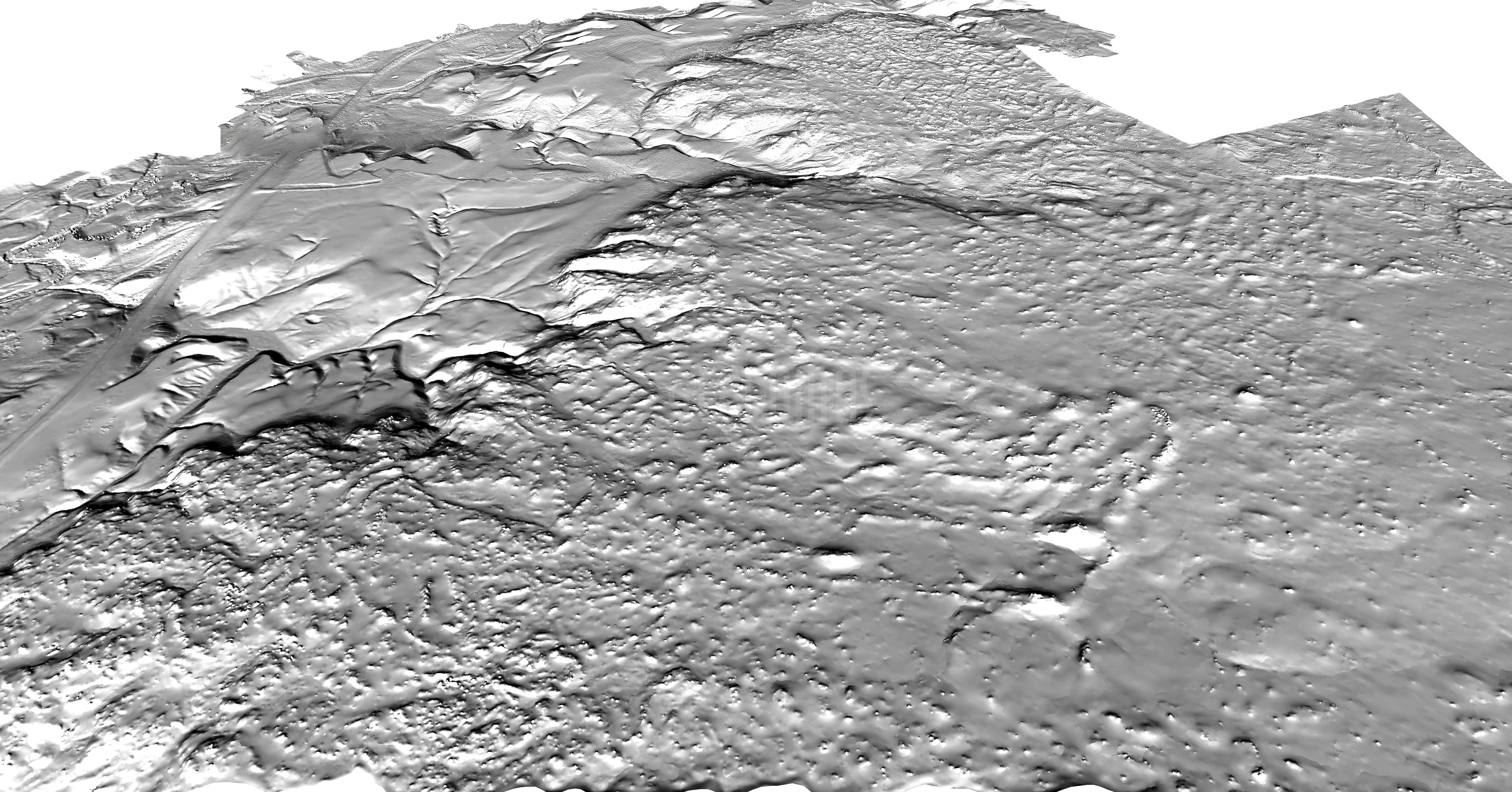
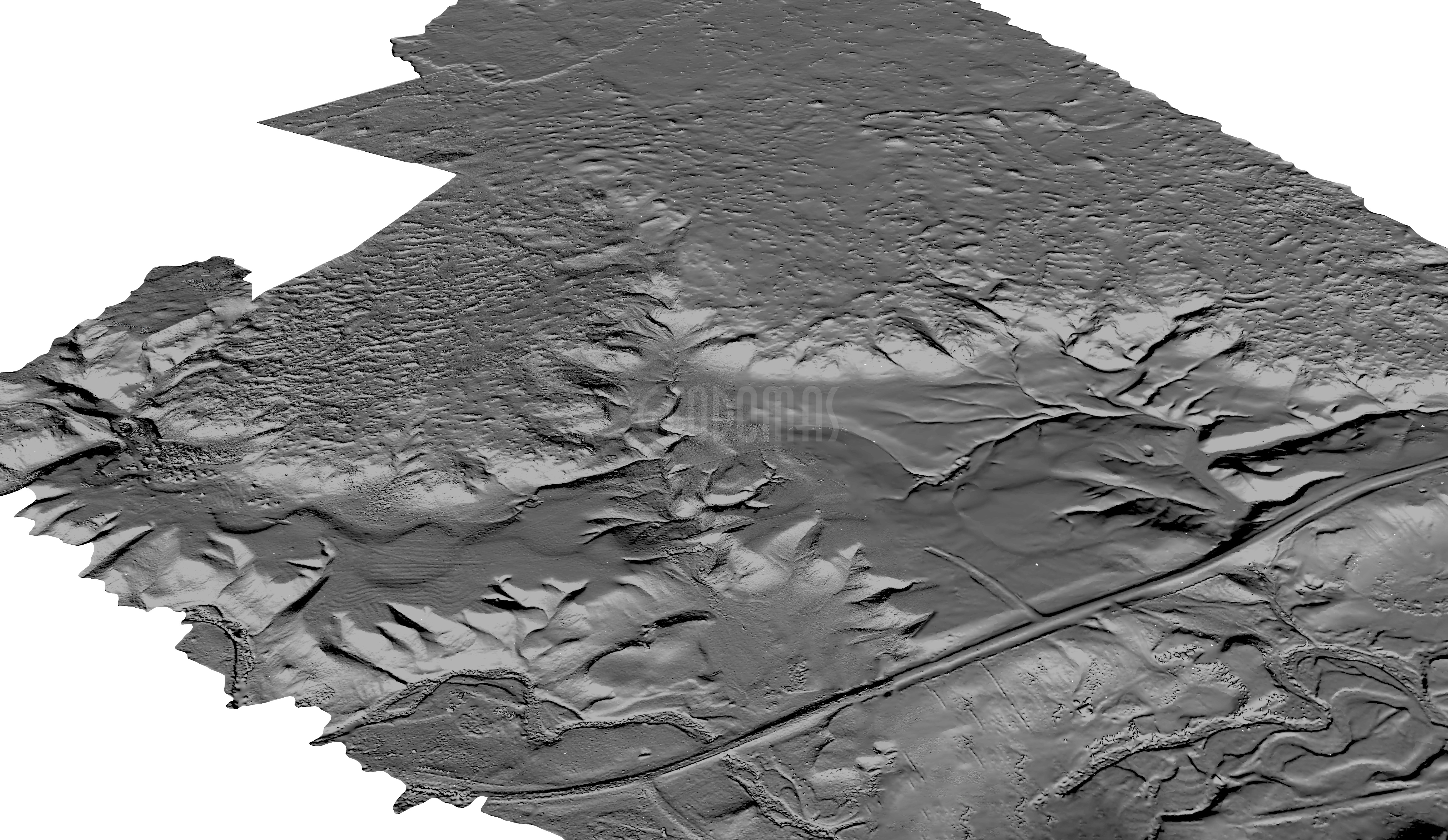
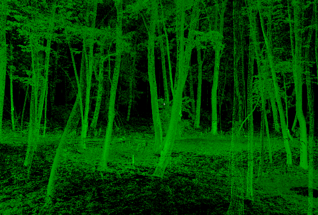
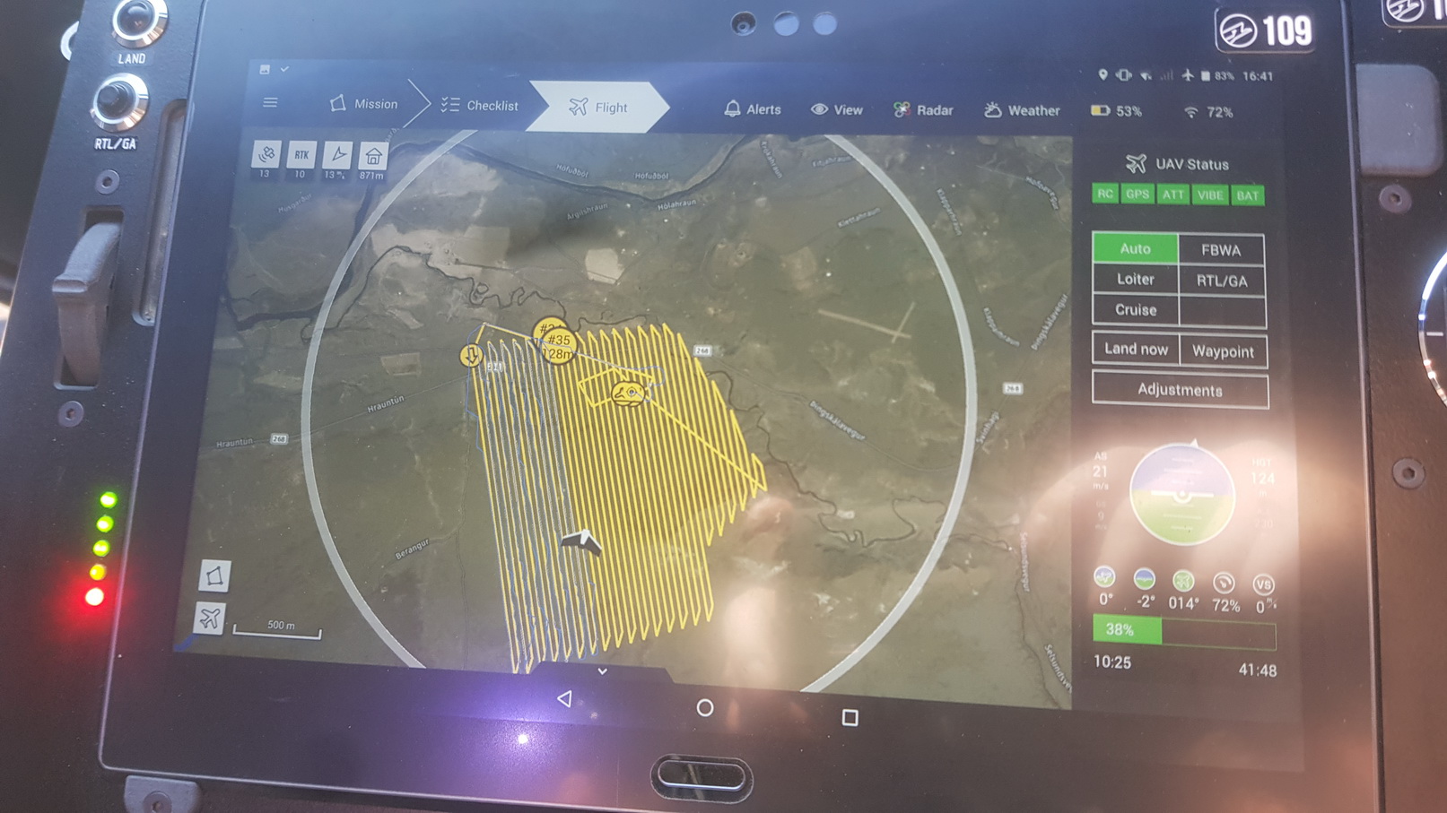
Creative technologists are now using 3D scanning to create ghostly, uncanny digital replicas of real-world environments. GEODOMAS TEAM specializes in digitizing “real world events or places” producing 3D scans of environments using advanced laser technology that measures a million points of data per second. This allows GEODOMAS TEAM to build a model of any space using millions of little dots that are precise to within a millimeter.
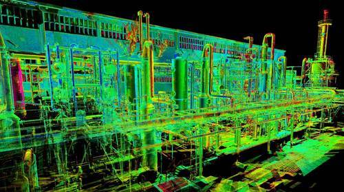
3D Scanning | Modelling with a 3D scanner (terrestrial Lidar) allows Can-Explore to reproduce the near perfect geometry of a structure. This high-precision geometry enables:
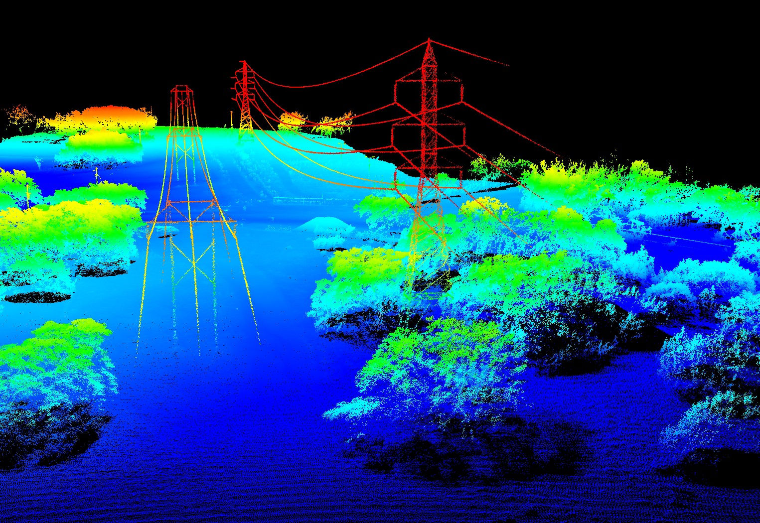
3D Scanning | Modelling with a 3D scanner (terrestrial Lidar) allows Can-Explore to reproduce the near perfect geometry of a structure. This high-precision geometry enables:
• Accurate measurements in all respects;
• Creation of as built plans
• Pre-manufacturing of elements to add to the structure;
• Verticality assessments;
• Deformation assessments.
• Monitoring
WORK TEAM :

Estimating Costs ?
The GEODOMAS Team will gladly answer any questions you might have and offer their creativity and experience to come up with the best solution for your project. Do not hestitate. Get in touch!

